Visualising Networks of Cities in the CERL Thesaurus
Author(s): Andreas Lüschow
Publication date: September 16, 2021
Related Working Group(s):
Abstract
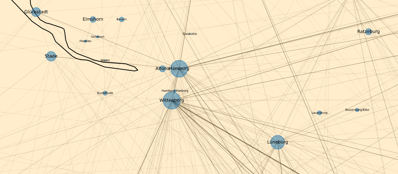
In our February 2021 blog post The value of visualisation in improving data quality: Mapping MEI, we already discussed valuable insights that can be gained by visualising data from CERL resources on a map. In the following blog post, we add to these insights by describing another approach to visualising metadata. This time, by creating networks of places from the CERL Thesaurus, we are able to illustrate both geographical places themselves as well as connections between them.
© The copyright is with the contributors. All rights reserved.
The texts, images, and downloadable files on this page are made available for scholarly and non-commercial use. You may download and cite the materials for research, study, or teaching, provided proper acknowledgement of the source is given.
Reproduction, redistribution, or commercial use of the content requires prior written permission from the contributors and/or CERL. For copyright queries or requests to reuse material, please contact: secretariat@cerl.org